
Hartford 🇺🇸
-
Nautical Twilight begins:04:42 amSunrise:05:49 am
-
Sunset:07:47 pmNautical Twilight ends:08:54 pm
-
Moonrise:01:04 am
-
Moonset:09:36 am
-
Moon over:05:20 am
-
Moon under:05:44 pm
-
Visibility:70%
-
 Waning Gibbous
-
Distance to earth:375,193 kmProximity:71.6 %
Moon Phases for Hartford
-
poor Day
-
minor Time:12:04 am - 02:04 am
-
major Time:
 04:20 am -
06:20 am
04:20 am -
06:20 am
-
minor Time:08:36 am - 10:36 am
-
major Time:04:44 pm - 06:44 pm
Tide Clock
Tide Graph
Times
| Tide | Time | Height |
|---|---|---|
| low | 01:17 am | 0.66 ft |
| high | 06:04 am | 2.33 ft |
| low | 02:26 pm | 0.26 ft |
| high | 06:59 pm | 1.71 ft |
| Date | Major Bite Times | Minor Bite Times | Sun | Moon | Moonphase | Tide Times |
|---|---|---|---|---|---|---|
|
Mon, 29 Apr
|
04:20 am -
06:20 am
04:44 pm -
06:44 pm
|
12:04 am -
02:04 am
08:36 am -
10:36 am
|
R: 05:49 am S: 07:47 pm |
R: 01:04 am S: 09:36 am |
Waning Gibbous |
low: 01:17 am
, 0.66 ft
high: 06:04 am
, 2.33 ft
, Coeff: 112
low: 02:26 pm
, 0.26 ft
high: 06:59 pm
, 1.71 ft
, Coeff: 61
|
|
Tue, 30 Apr
|
05:19 am -
07:19 am
05:38 pm -
07:38 pm
|
12:52 am -
02:52 am
09:46 am -
11:46 am
|
R: 05:47 am S: 07:48 pm |
R: 01:52 am S: 10:46 am |
Third Quarter Moon |
low: 02:21 am
, 0.69 ft
high: 07:04 am
, 2.26 ft
, Coeff: 106
low: 03:23 pm
, 0.3 ft
high: 08:04 pm
, 1.74 ft
, Coeff: 63
|
|
Wed, 01 May
|
06:16 am -
08:16 am
06:32 pm -
08:32 pm
|
01:30 am -
03:30 am
11:02 am -
01:02 pm
|
R: 05:46 am S: 07:49 pm |
R: 02:30 am S: 12:02 pm |
Third Quarter Moon |
low: 03:30 am
, 0.66 ft
high: 08:12 am
, 2.17 ft
, Coeff: 98
low: 04:19 pm
, 0.3 ft
high: 09:09 pm
, 1.87 ft
, Coeff: 74
|
|
Thu, 02 May
|
07:10 am -
09:10 am
07:24 pm -
09:24 pm
|
02:02 am -
04:02 am
12:19 pm -
02:19 pm
|
R: 05:45 am S: 07:51 pm |
R: 03:02 am S: 01:19 pm |
Third Quarter Moon |
low: 04:37 am
, 0.52 ft
high: 09:23 am
, 2.13 ft
, Coeff: 96
low: 05:14 pm
, 0.26 ft
high: 10:11 pm
, 2.03 ft
, Coeff: 88
|
|
Fri, 03 May
|
08:02 am -
10:02 am
08:14 pm -
10:14 pm
|
02:29 am -
04:29 am
01:35 pm -
03:35 pm
|
R: 05:43 am S: 07:52 pm |
R: 03:29 am S: 02:35 pm |
Waning Crescent |
low: 05:41 am
, 0.36 ft
high: 10:30 am
, 2.13 ft
, Coeff: 96
low: 06:07 pm
, 0.2 ft
high: 11:07 pm
, 2.26 ft
, Coeff: 106
|
|
Sat, 04 May
|
08:52 am -
10:52 am
09:04 pm -
11:04 pm
|
02:53 am -
04:53 am
02:52 pm -
04:52 pm
|
R: 05:42 am S: 07:53 pm |
R: 03:53 am S: 03:52 pm |
Waning Crescent |
low: 06:39 am
, 0.16 ft
high: 11:32 am
, 2.17 ft
, Coeff: 98
low: 06:56 pm
, 0.1 ft
high: 11:59 pm
, 2.49 ft
, Coeff: 125
|
|
Sun, 05 May
|
09:42 am -
11:42 am
09:54 pm -
11:54 pm
|
03:16 am -
05:16 am
04:09 pm -
06:09 pm
|
R: 05:41 am S: 07:54 pm |
R: 04:16 am S: 05:09 pm |
Waning Crescent |
low: 07:34 am
, -0.03 ft
high: 12:28 pm
, 2.2 ft
, Coeff: 101
low: 07:44 pm
, 0.03 ft
|


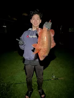
uploaded by: Mr.Chow
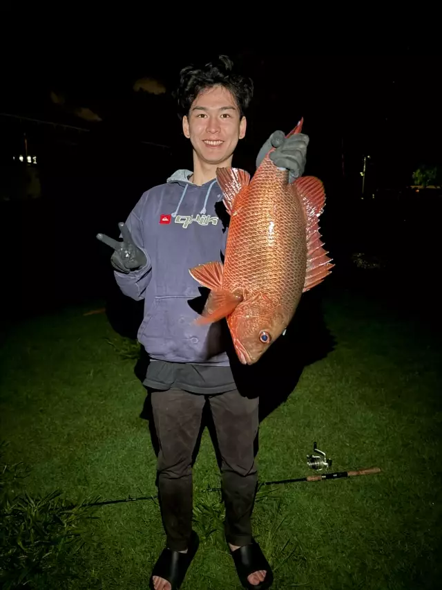
uploaded by: Mr.Chow
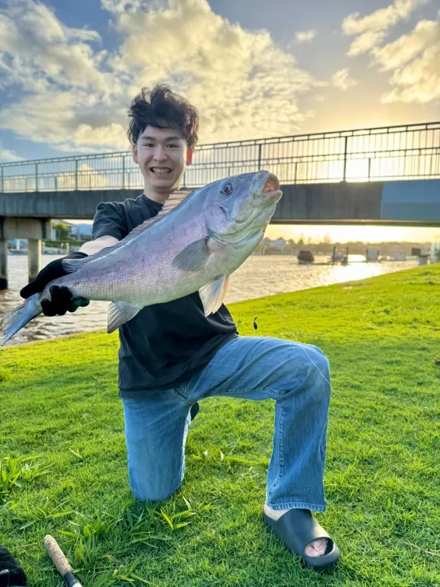
uploaded by: Chadderikk
uploaded by: Mike Brooks (Savage)
uploaded by: Mike Brooks (Savage)
uploaded by: Terry Foster
uploaded by: Doug Parr
uploaded by: Ahmed Elbasha
uploaded by: Hoza
uploaded by: PT Edward fisher
Chartfornt,Gartford,Gorad Khartfard,HFD,Halakepoka,Hartford,Hartforda,Hartfordas,Hartfordia,Hārtforda,Khartford,Siti of Khartford,ha te fu,hartafard,hartaforda,hartapharda,hartfwrd,hartfwrd, kwnytykt,hartpart,hateupeodeu,hatofodo,hrtpwrd,Χάρτφορντ,Гартфорд,Горад Хартфард,Сити оф Хартфорд,Хартфорд,Ҳартфорд,Հարթֆորդ,הרטפורד,هارتفورد,هارتفورد، كونيتيكت,ہارٹفورڈ,हार्टफर्ड,हार्टफ़र्ड्,हार्टफ़ोर्ड,ஹார்ட்பர்ட்,ハートフォード,哈特福,하트퍼드
Best Fishing Spots in the greater Hartford area
We found a total of 98 potential fishing spots nearby Hartford. Below you can find them organized on a map. Points, Headlands, Reefs, Islands, Channels, etc can all be productive fishing spots. As these are user submitted spots, there might be some errors in the exact location. You also need to cross check local fishing regulations. Some of the spots might be in or around marine reserves or other locations that cannot be fished. If you click on a location marker it will bring up some details and a quick link to google search, satellite maps and fishing times. Tip: Click/Tap on a new area to load more fishing spots.
Founders Bridge - 2km , Gurney Bridge - 2km , Bell Pond Dam - 2km , Bulkeley Bridge - 2km , Sheeps Bridge (historical) - 3km , Charter Oak Bridge - 3km , Folly Bridge - 4km , Keeney Point - 5km , Wethersfield Cove - 5km , Bissell Bridge - 6km , Keeney Cove - 7km , Scotland Road Dam - 7km , William Putnam Memorial Bridge - 7km , Wood Pond - 7km , Woodridge Lake - 7km , Woodridge Lake Dam - 7km , Bugbee Reservoir Dam - 7km , Hartford Reservoir Number 1 Dam - 8km , Hartford Reservoir Number 2 Dam - 8km , Hartford Reservoir Number 5 Dam - 8km , Laurel Lake Dam - 8km , South Reservoir Dam - 8km , South Reservoir Dike - 8km , Burnt Hill Reservoir Dam - 8km , Dyke Pond - 9km , Hartford Reservoir 6 East Dam - 9km , Hartford Reservoir 6 South Dam - 9km , Hartford Reservoir Number 3 Dam - 9km , Hills Pond - 9km , Laurel Lake - 9km , Mill Pond - 9km , Mill Pond Dam - 9km , Talcott Dam - 9km , Talcott Reservoir Diversion Dike - 9km , Talcott Reservoir Main Dam - 9km , Welles Pond - 9km , Wintonbury Dam - 9km , Wrights Island (historical) - 9km , Blue Hills Dam - 9km , Cold Springs Dam - 9km , Ely Pond - 10km , Hartford Reservoir 6 Southeast Dam - 10km , Lower Pond - 10km , Podunk Pond Dam - 10km , Rams Pond - 10km , Rosers Pond - 10km , Williams Pond - 10km , Williams Pond Dam - 10km , Addison Pond Dam - 10km , Batterson Park Pond - 10km , Batterson Park Pond Dam - 10km , Buckland Pond - 10km , Caiglo Pond - 10km , Folly Pond - 11km , Hoe Pond - 11km , Miller Pond - 11km , Vintons Millpond - 11km , Barber Pond - 11km , Barber Pond Dam - 11km , Bloomfield Dam - 11km , Bloomfield Site 3A Dam - 11km , Lake Erie - 12km , Gale Pond - 12km , Gale Pond Dam - 12km , Hilliards Pond - 12km , Keeney Street Pond - 12km , Treat Pond - 12km , Brickyard Pond - 12km , Farmington Reservoir Dam - 13km , Great Pond - 13km , Lake Louise - 13km , Walton Pond - 13km , Beaverdam Pond - 13km , Dividend Pond - 14km , Dividend Pond Dam - 14km , Globe Hollow Reservoir Dam - 14km , Goodwin Pond - 14km , Goulds Pond - 14km , Pequabuck Bridge - 14km , Silver Birch Pond - 14km , Stub Pond Dam - 14km , Union Pond Dam - 14km , Wetherell Pond - 14km , Brainard Pond - 14km , Doerrs Pond - 15km , Hodges Pond - 15km , Lily Pond - 15km , Loon Lake (historical) - 15km , Lydall Pond Number 1 Dam - 15km , Potter Pond - 15km , Red Gates Pond - 15km , Spring Dam Pond - 15km , Angus Park Pond - 15km , Angus Park Pond Dam - 15km , Beech Swamp Bridge - 15km , Cast and Blast Pond Dam - 15km , Cold Brook Reservoir Dam - 15km , Mason Pond - 16km
Comments